|
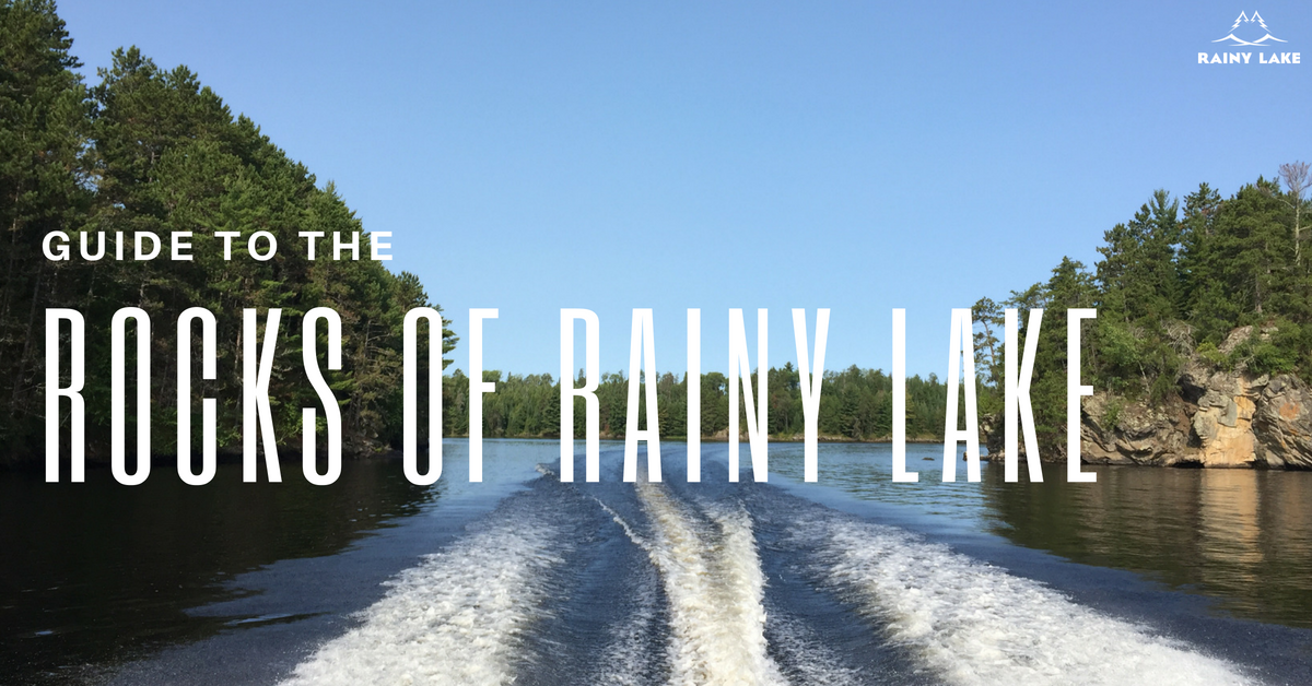
Guide to the Rocks of Rainy Lake
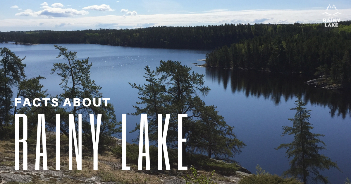
The natural beauty of Rainy Lake – the deep navy water, multi-hued pines and active wildlife – draws people from across the globe to her shores. One of the area’s most distinguishing features is its unique rock features, which include some of North America’s oldest examples. In fact, when you gaze upon the exposed rock of Rainy’s shores and islands, you’re seeing the creation of North America. A Long, Long Time Ago Voyageurs National Park, which is made up of four lakes – Rainy, Kabetogama, Sand and Namakan – is situated at the southern side of the Canadian shield, a huge rock basement that features an impressive selection of Precambrian rocks that are between 2.5 to 4.5 billion years old. In addition to the park, these rocks can only be seen in Wyoming, Greenland and some areas of Canada. Precambrian rocks were formed by tectonic plate processes in the continental crust. The Precambrian period is divided into the Archean period, which dates from around 3,800 – 2.5 million years ago, and the Proterozoic, which is from 2,500 to 540 million years ago. Most rocks in Voyageurs are metamorphic and igneous rocks from the Archean age that formed by layers of ash and lava that underwent uplifting, folding, pressure and superheating. Glacial Action Over time, erosion wore down the volcanic mountain range, and the ice ages brought glaciers. The area of Rainy Lake went through at least four different glaciation periods, starting around 190,000 years ago. The glaciers scooped out lake basins, scraped rock surfaces and dragged loose rocks across surfaces. This action exposed the roots of the ancient mountains, the granite, migmatite, and biotite schist you see today. As the glaciers receded, torrents of melted water filled low-lying areas, creating the current landscape: a varied, rugged topography, including rolling hills, slopes and bedrock outcrops amidst beaver ponds, bogs, islands, swamps and lakes. What to Look For Evidence of this activity can be seen in glacial erratics and striations. Erratics are round boulders that were carried by the glaciers (ice rafted) and then deposited after melting and can range in size from pebbles to small cars. A good example of this can be seen in Cranberry Bay. The huge, white rock is aptly named the Cranberry Bay Erratic. Glacial striations look like vertical rocks standing end-on-end. In Voyageurs National Park, striations point south, south by southwest, and southwest in conjunction with glacier movements. Look for examples of striation on Bushy Head and Little American islands. While you are exploring and learning about the rocks of Rainy Lake, remember that you’re not allowed to remove rocks or other natural materials from Voyageurs park. Rainy Lake and Rainy River offer a host of activities for outdoor enthusiasts throughout the year, from fishing and boating to snowmobiling and skiing. The following are some basic – and more obscure – facts about Rainy Lake and the surrounding area.
The Park Rainy Lake is home to Minnesota’s only National Park, Voyageurs, which was established in 1975.
The History Rainy Lake is a remnant of Lake Agassiz, which was formed as the glaciers retreated north during the last ice age 50,000 to 10,000 years ago.
The Climate If International Falls sounds familiar it’s most likely because of a national weather reports referring to the city as “The Icebox of the Nation.”
The Trivia Impress your friends with these lesser-known facts:
Interested in planning a vacation with us? Get started today!
|
Keep Up With Rainy Lake!
Plan Your Trip!
Learn More:
All
|
MINNESOTA VACATIONS: |
International Falls, Rainy Lake and Ranier Convention and Visitors Bureau
301 2nd Avenue International Falls, MN 56649 218-283-9401 Monday-Friday 8am-4pm Saturday-Sunday Closed Select photography by Kallie Kantos |


 RSS Feed
