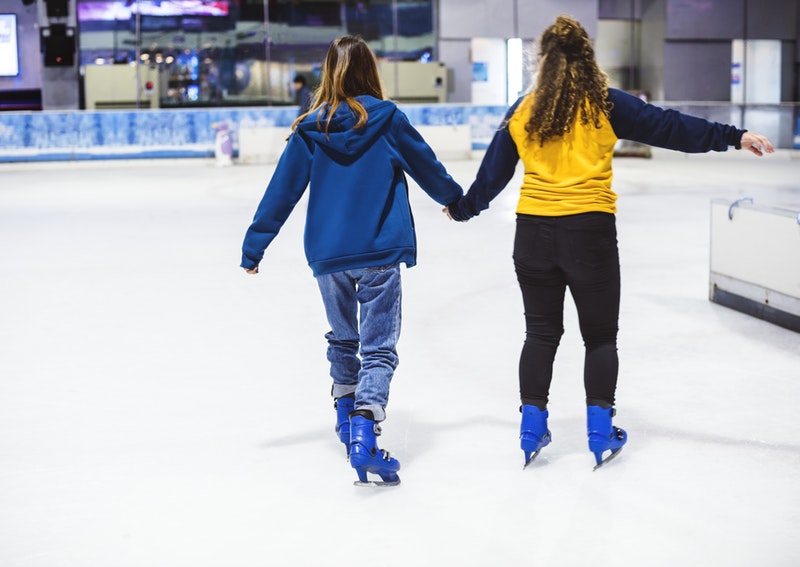
 Rainy Lake has plenty of ice for skating and playing hockey, but if you're looking for a manmade surface, you can try the Ranier Rink, or take a drive to one of the rinks listed below.
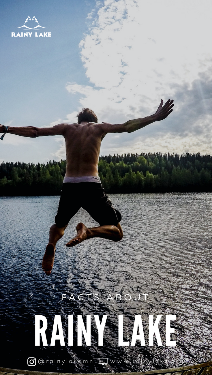
Ever wish you could ice skate in a national park? Now you can, with a new rink and sledding hill open on Lake Kabetogama, one of the entry points to Voyageurs National Park. Elsewhere in this area, just south of the Canadian border, you’ll find rinks in International Falls and Ranier. Further south in the hockey-loving Iron Range, there are rinks in Biwabik (minutes from the Giants Ridge ski resort), Hibbing and Virginia. While on the Range, pay a visit to the U.S. Hockey Hall of Fame in Eveleth. Or head to Grand Rapids for your choice of four outdoor rinks, including a covered one at the IRA Civic Center. Search for warm places to stay after a day on the rink in our lodging directory. Duluth WHERE: Bayfront Festival Park SURFACE: Manmade WHEN: Jan. 2 -weather permitting ACTIVITIES: Ice skating, PRICE: Free SKATE RENTALS: Yes EXTRAS: Sleds, snowshoes and snow-sculpting tools Kabetogama WHERE: Lake Kabetogama SURFACE: Lake WHEN: Weather permitting ACTIVITIES: Ice skating PRICE: Free SKATE RENTALS: None EXTRAS: Sledding hill Ranier WHERE: Ranier City Park SURFACE: Manmade WHEN: Weather permitting ACTIVITIES: Ice skating, hockey PRICE: Free SKATE RENTALS: Free EXTRAS: Warming house, sledding hill, fire pit, kids event with Mickey & Minnie Mouse (February) Grand Rapids WHERE: IRA Civic Center SURFACE: Manmade WHEN: Weekends, weather permitting ACTIVITIES: Ice skating, hockey PRICE: Free SKATE RENTALS: None 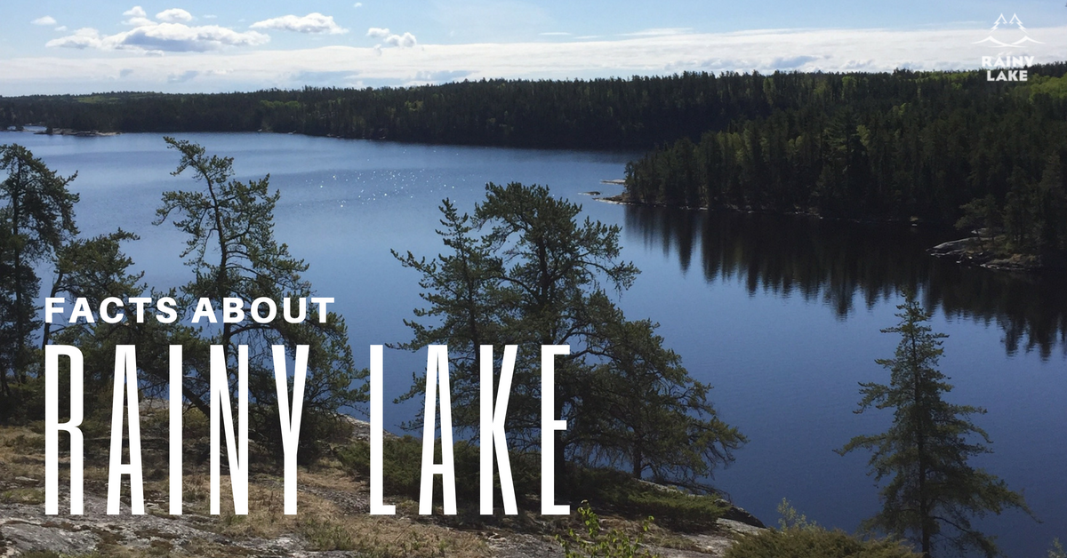 Rainy Lake and Rainy River offer a host of activities for outdoor enthusiasts throughout the year, from fishing and boating to snowmobiling and skiing. The following are some basic – and more obscure – facts about Rainy Lake and the surrounding area.
The Park Rainy Lake is home to Minnesota’s only National Park, Voyageurs, which was established in 1975.
The History Rainy Lake is a remnant of Lake Agassiz, which was formed as the glaciers retreated north during the last ice age 50,000 to 10,000 years ago.
The Climate If International Falls sounds familiar it’s most likely because of a national weather reports referring to the city as “The Icebox of the Nation.”
The Trivia Impress your friends with these lesser-known facts:
Interested in planning a vacation with us? Get started today!
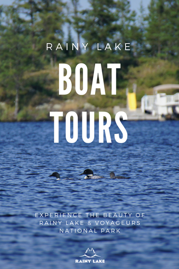
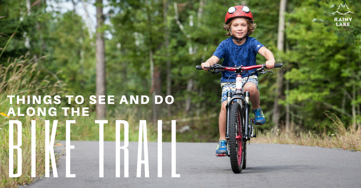 While fishing, boating and other water activities are often the main attraction on Rainy Lake, don’t miss the opportunity to explore the area by bike. A 12-mile paved trail runs adjacent to Highway 11 from International Falls to the Voyageurs National Park Visitors Center and offers diversions such as ice cream stops, wildlife viewing and even a dip in the lake!  Miles 0-3
The trail is located just east of the Convention and Visitors Bureau office (301 2nd Avenue), roughly where highway 53 meets highway 11/71 in downtown International Falls. You can park there to begin your eastward journey. This area of the trail features river views on your left, which overlook the community of Fort Frances, Ontario. Note the paper mill at the falls, as well as the wood chips and logs that are piled along the highway before being sent to the mill. Make a stop at the Voyageurs National Park Headquarters (360 Highway 11), where you can enjoy the river views. Miles 3-5 Approximately 3 miles east of International Falls is the community of Ranier, marked by a 25-foot statue affectionately known as “Big Vic.” Plan to take time for a detour here. Ranier is a charming village with restaurants, a bar and brewery, as well as an ice cream shop. Chances are good you will see a train, as the Canadian National Railway border crossing in Ranier sees the most railroad cars of any crossing between the U.S. and Canada. This is also where the Rainy Lake flows into the Rainy River, which you can see from the Spruce Street dock. From here, you can either head back to the highway, or bike along County Road 20, which wends through a residential area and past City Beach, where you can cool off with a swim or enjoy a picnic. Miles 5-7 Here the bike trail merges with highway 11 for a few miles, while the landscape begins to change. You’ll see some of the only farmland – watch for cranes, geese and deer – as well as an unobstructed view of Rainy Lake at the Jackfish Bay Wayside Park. The trail then turns left at County Road 103 to become enveloped in the wooded landscape. Miles 7-10 This part of the trail crosses Tilson Bay, where you can see wild rice growing in the wetlands on the right and Rainy Lake to the left. Stop here to rest on the dock or get in some cross training with a trek on the hiking trail. Miles 10-12 Here the trail is on the shoulder of Highway 11, which challenges bikers with a long, gradual uphill climb before again turning to the left and into the woods. Gradual hills make for a fun, not-too-hard ride, while grouse are known to peak out from the underbrush. At the end of the trail, cross Highway 11 to the Rainy Lake Recreation Trail, a wide, paved path that welcomes runners, walkers and bicyclists. Leading to the entrance of Rainy Lake Visitor Center the 1.75-miles include benches for taking a breather while taking in the views of Rainy Lake. |
Learn More:
All
|
 RSS Feed
MINNESOTA VACATIONS: |
Voyageurs Lodging
Rainy Lake Lodging Maps and Trails Rainy Lake Activities Plan your Minnesota Vacation Minnesota Vacations Blog Fishing Reports |
International Falls, Rainy Lake and Ranier Convention and Visitors Bureau
301 2nd Avenue International Falls, MN 56649 218-283-9401 Monday-Friday 8am-4pm Saturday-Sunday Closed Select photography by Kallie Kantos |